Nearby · Red Rock Canyon State Park
Hiking trails at Red Rock Canyon State Park
The marked trails are short, from a quarter of a mile to a little over a mile, and most start within a few minutes of the visitor center. The longer walking is in the backcountry canyons, one of which is closed for half of every year.
Last reviewed · 11 sources
At a glance
- Dogs
- Not allowed on trails, except trained service animals1
- Nightmare Gulch
- Closed to all entry February to June; open to walkers and riders on horseback July to January1
- Best months
- Mid-October to mid-May2
- Water
- Drinking water at the campground, none listed at trailheads; carry twice what you think you need1
Which trails are there, and how long are they?
Most of the park’s marked trails are close to the visitor center and campground on Abbott Drive, and all of them are short. What they give you is the cliffs close up: fluted walls, coloured bands, and the canyons that film crews used from the 1920s to the 1960s.3
Published lengths disagree. The table gives both the State Parks planning document’s figures and those on the trail map published by the Red Rock Canyon Interpretive Association, the park’s nonprofit cooperating association, in October 2025, including its difficulty ratings.234 On the association’s scale, “easy” means minimal climbing, “moderate” up to about 100 feet of elevation gain with some scrambling, and “difficult” possibly more than 200 feet with scrambling.4
| Trail | Starts | State Parks | Association map |
|---|---|---|---|
| Ricardo Nature Trail | Across the parking lot from the visitor center | ¼ mile | ¼ mile, easy |
| Desert View Nature Trail | Ricardo Campground, near site 50 | 1-mile loop (planning document); half a mile (self-guided trail text) | ¼ mile, moderate |
| Whistler Ridge | Continues up from the Desert View trail | Not listed | ¼ mile to the summit, then a ¾-mile ridge trail; difficult |
| Hagen Canyon | Dirt lot just west of Highway 14 at Abbott Drive | 1.2 miles | 1-mile loop, easy |
| Red Cliffs | Red Cliffs day-use area, east of Highway 14, ⅓ mile south of Abbott Drive | 1-mile loop | ½ mile, moderate |
Ricardo Nature Trail. A quarter-mile walk with numbered posts that match a State Parks guide to the canyon’s plants and history: Joshua trees, creosote bush, cholla and beavertail cactus among them.23
Desert View Nature Trail and Whistler Ridge. The trail starts near campsite 50 and climbs steeply to the ridge above the campground; the association describes the continuation along Whistler Ridge as a steady climb with slippery sections and rock scrambling, and advises caution.24
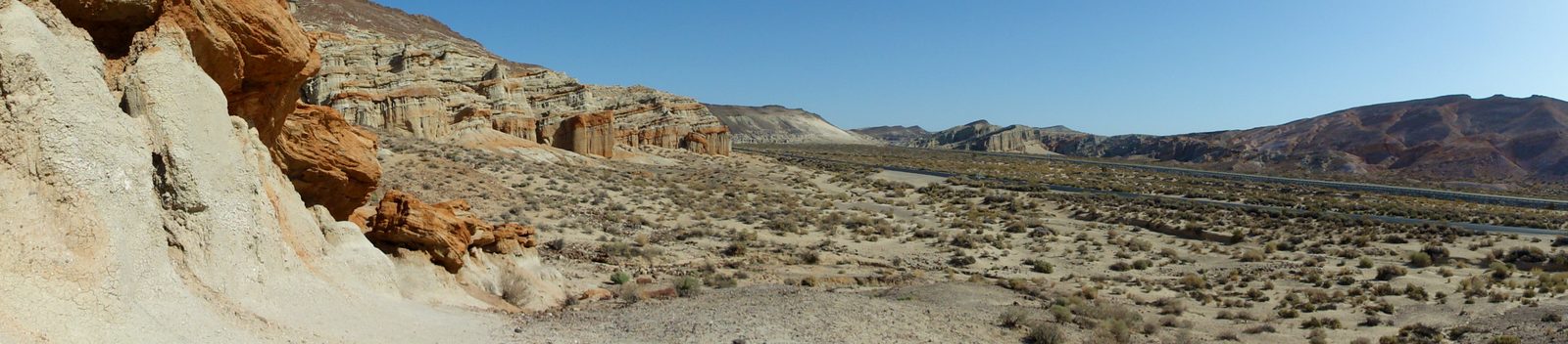

Hagen Canyon. The trailhead is just west of the junction of Highway 14 and Abbott Drive, with parking in a dirt lot. The canyon is known for early-spring wildflowers and red cliffs, and was the location for many films.24
Red Cliffs. Across the highway in the Red Cliffs Natural Preserve, reached from a turn a third of a mile south of Abbott Drive, with parking, pit toilets and picnic tables. It is popular from October to May; the association warns it can be sandy and steep.24
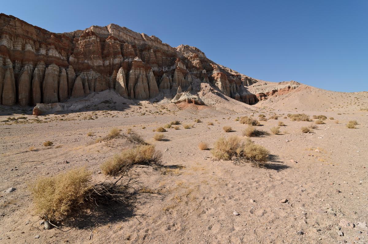

Trail maps. The association’s trail map of October 2025 marks each trail with its start, length and difficulty.4 State Parks’ own park map dates from 2014 and still draws Nightmare Gulch as a four-wheel-drive route,11 though the gulch has been closed to vehicles since 2013.8 Download both before you go.
When is Nightmare Gulch open?
Nightmare Gulch is reached by the Iron Canyon dirt road from the Red Cliffs area, to a parking area beside a gated trailhead; the route follows an old stagecoach road that has badly eroded.2 It has two separate closures.
- February to June, closed to everyone, including walkers, cyclists and horses, to protect nesting birds of prey. From July to January it is open to people on foot and on horseback.1
- Closed to vehicles until further notice, by an order dated 16 January 2024,7 continuing a closure that began in October 2013 after a storm washed out sections of the route and left steep drop-offs.8
The seasonal birds-of-prey closure dates from 1986 and also covers parts of the Red Cliffs Natural Preserve and Scenic Canyon.2 Park staff have seen raptors start nesting as early as late December,6 so obey closure signs even where a date suggests the area should be open. The association gives the gulch as a nine-mile trip one way;5 State Parks does not publish a length.
Longer walks: Last Chance Canyon and Opal Peak
The eastern part of the park is reached from outside it. Last Chance Canyon is approached by several routes that start beyond the park boundary, including Last Chance Canyon Road, El Paseo Road and Pleasant Valley Road.2 It is the best place to see the Goler Formation, rocks laid down between 55 and 65 million years ago.9 It was mined too: two pumicite mines there, opened in 1923 and 1939, produced about 150,000 tons between them.2 Opal Peak, a viewpoint with views across the park and region in every direction, is reached from Highway 14 by Sierra View Road and Red Rock–Inyokern Road.2
These are backcountry roads. The adjoining public land, including the federal wilderness and Burro Schmidt’s Tunnel, is covered in the El Paso Mountains.
How hot does it get, and what should you carry?
State Parks lists the hazards of the park plainly: extreme heat and cold, flash floods, cliffs, slot canyons, landslides, venomous snakes, and old mines, including underground tunnels.2 Cell service works around the campground and is patchy elsewhere.2 Storm damage closes trails: after Tropical Storm Hilary in August 2023 the park asked hikers to wear sturdy shoes and stay out of closed areas.1
Trail rules: dogs, bikes, drones and collecting
- No dogs or other pets on established trails; trained service animals are allowed.1
- Nothing may be collected, wildflowers included.1
- Bicycles must stay on roads. Horses are allowed on the park’s roads, except in seasonally closed areas.1
- Drones are prohibited, including for personal photography.1
State Parks offers guided nature hikes in the autumn and spring.1
When is the best time to hike?
Between mid-October and mid-May, and early in the day. The park’s weather station recorded July highs averaging around 102°F and January lows around 29°F over 1971–1992.2 After a wet winter the spring flower displays are, in State Parks’ word, stunning.1 Day use is from sunrise to sunset.1
Sources
Every fee, rule, distance and date above traces to one of these, checked on the review date. Rules, closures and fees change: where it matters, confirm with the managing agency before you go. If something here is wrong, tell us and it will be fixed.
- 1.Red Rock Canyon State Park. California State Parks.The park's official page: directions, hours, fees, camping, dogs, vehicles, drones, closures and contacts. Its current-restrictions panel was empty when checked.
- 2.Red Rock Canyon State Park Preliminary General Plan Revision and Draft EIR. California State Parks, via CEQAnet, October 2022.The most detailed official description of the park's roads, trails, facilities, climate and history. A preliminary document: the adopted plan corrected some acreage and history figures.
- 3.Nature trail tour guides. California State Parks.
- 4.Red Rock Canyon existing trails map and info. Red Rock Canyon Interpretive Association, October 2025.
- 5.Hiking. Red Rock Canyon Interpretive Association.Undated.
- 6.Staff report: Red Rock Canyon State Park General Plan Revision. California State Park and Recreation Commission, 3 March 2023.The park's classification history, the 1994 transfer, and the vehicle-use direction of the plan adopted in 2023.
- 7.Superintendent's Order 577-24-003: Nightmare Gulch. California State Parks, Great Basin District, 16 January 2024.
- 8.Nightmare Gulch Project. California State Parks.
- 9.Geological Gems of California State Parks, GeoGem Note 38: Red Rock Canyon State Park. California Geological Survey, for California State Parks, 2010, published 2015.
- 10.Campground. Red Rock Canyon Interpretive Association.Undated. Used only for claims attributed to the association.
- 11.Red Rock Canyon State Park map. California State Parks, 2014.Predates the 2024 vehicle closures; its road information is out of date for Nightmare Gulch.