Nearby · Kern County, California
Places to visit near California City
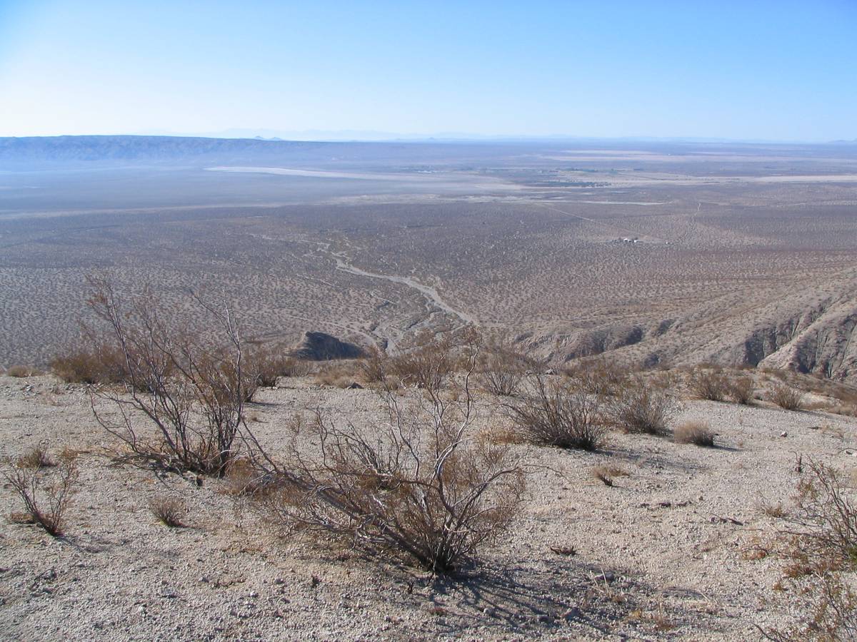
Most of what draws people to this corner of the Mojave is outside the city limits: a state park of red cliffs, open riding areas, protected tortoise habitat, a wilderness, a gold-rush town and a spaceport. Each is run by someone different, under different rules.
Last reviewed · 24 sources
How far is each place from California City?
Road distances and times are from City Hall, measured with the same router as the rest of this guide. Where no route has been measured, the table gives the managing agency’s own directions.
| Place | What it is | From California City |
|---|---|---|
| Jawbone Canyon OHV Area | BLM open riding area and free primitive camping, with the Jawbone Station visitor center on Highway 142 | 15.9 miles, about 28 min to Jawbone Station10 |
| Red Rock Canyon State Park | State park of banded cliffs and fossil beds, with short trails and one first-come campground1 | 19.6 miles, about 35 min to the visitor center11 |
| Dove Springs OHV Area | BLM open riding area of more than 5,000 acres, just north of Red Rock Canyon3 | Off Highway 14 about 30 miles north of its junction with Highway 58 in Mojave, by BLM’s directions3 |
| Rand Mountains and the Desert Tortoise Research Natural Area | BLM-managed desert tortoise habitat with signed routes, and a fenced natural area where visitors walk47 | The natural area’s interpretive center is about four miles northeast of town7 |
| El Paso Mountains | A BLM wilderness closed to all vehicles, Last Chance Canyon and Burro Schmidt’s Tunnel5 | Wikipedia puts the range 16 miles north-northeast of the city9 |
| Randsburg | The town that grew around the Yellow Aster gold strike of 1895; 45 residents at the 2020 census1415 | 61.1 miles, about 1 h 17 min by Highway 58 and US 39513 |
| Mojave Air and Space Port | A working airport and spaceport with airliner storage and three small public areas1718 | 15.7 miles, about 23 min to Mojave,12 and the airport is about a mile east of the town16 |

Getting to each place, and where to find fuel and food on the way, are covered in getting to California City and food and fuel.
Who manages each place?
The land around California City is a patchwork, and the first thing to know about any place on it is who manages it, because that decides what you may do there.
- California State Parks runs Red Rock Canyon State Park: a day-use fee, one first-come campground, dogs kept off the trails, and no collecting without a permit.1
- The Bureau of Land Management runs the Jawbone Canyon OHV Area and the Dove Springs OHV Area as open riding areas with free primitive camping,23 the Rand Mountains Management Area as a limited-use area where vehicles keep to signed routes,4 and the El Paso Mountains Wilderness, where no motor vehicles or bicycles may go.5 Its Ridgecrest Field Office is on (760) 384-5400.6
- The Desert Tortoise Preserve Committee, a nonprofit, helps BLM manage the Desert Tortoise Research Natural Area, about four miles northeast of town, where visitors walk and vehicles are not allowed; it is described on the Rand Mountains page.87
- Everything else is its own case: the old mining town of Randsburg, and the Mojave Air and Space Port, a working airport with a few public areas.
Which riding routes are closed in 2026?
Since 24 March 2026 a federal court order has closed every BLM route in desert tortoise critical habitat in the western Mojave to off-highway recreation, including recreational driving in street-legal vehicles. BLM lists Jawbone Canyon and Dove Springs among the riding areas that remain accessible.19 The Rand Mountains Management Area is critical habitat.4 The federal government has appealed.20 If you are planning to ride or drive on public land, read BLM’s current notice before you set out.19
What to know before you drive out
The forecast, wind and fire restrictions for the area are on the California City weather and desert conditions page.
Sources
Every fee, rule, distance and date above traces to one of these, checked on the review date. Rules, closures and fees change: where it matters, confirm with the managing agency before you go. If something here is wrong, tell us and it will be fixed.
- 1.Red Rock Canyon State Park. California State Parks.The park's official page: directions, hours, fees, camping, dogs, vehicles, drones, closures and contacts. Its current-restrictions panel was empty when checked.
- 2.Jawbone Canyon OHV Area. Bureau of Land Management.
- 3.Dove Springs OHV Area. Bureau of Land Management.
- 4.Rand Mountains Management Area permit and map. Bureau of Land Management, 23 March 2026.The free permit itself, with the area's rules, history, tortoise information and the 2026 closure notice.
- 5.El Paso Mountains Wilderness. Bureau of Land Management.
- 6.Ridgecrest Field Office. Bureau of Land Management.The office's address and phone, the areas it manages, and the Jawbone Canyon visitor center's address, hours and phone.
- 7.Overview & Location: Desert Tortoise Research Natural Area. Desert Tortoise Preserve Committee.
- 8.News & Press. Desert Tortoise Preserve Committee.
- 9.El Paso Mountains. Wikipedia.
- 10.Route from California City City Hall to Jawbone Station. OSRM routing on OpenStreetMap data, routed 17 September 2026.Free-flowing traffic; the link re-runs the route.
- 11.Route from California City City Hall to the Red Rock Canyon State Park visitor center. OSRM routing on OpenStreetMap data, routed 17 September 2026.Free-flowing traffic; the link re-runs the route.
- 12.Route from California City City Hall to Mojave. OSRM routing on OpenStreetMap data, routed 17 September 2026.Free-flowing traffic; the link re-runs the route.
- 13.Route from California City City Hall to Randsburg, by Highway 58 and US 395. OSRM routing on OpenStreetMap data, routed 17 September 2026.Free-flowing traffic; the link re-runs the route.
- 14.Rand Mining District (California Historical Landmark No. 938). California Office of Historic Preservation.
- 15.2020 Census, Table C1: Kern County summary (redistricting file). California Department of Finance, via Kern Council of Governments, August 2021.
- 16.KMHV: Mojave Air & Space Port/Rutan Field. AirNav, from FAA records effective 3 September 2026.
- 17.Frequently Asked Questions. Mojave Air & Space Port.Public areas, the boneyard, and the monthly open ramp.
- 18.Self-guided tour, interest point 4. Mojave Air & Space Port.Undated, and partly out of date on tenants; used only for what is stored and why.
- 19.West Mojave Plan route network. Bureau of Land Management.BLM's notice of the court-ordered closure of routes in desert tortoise critical habitat to OHV recreation from 24 March 2026, the areas that remain open, and the Rand Mountains permit.
- 20.BRC files intervention in Ninth Circuit appeal of WEMO closures. BlueRibbon Coalition (an off-highway access advocacy group), 6 May 2026.Reports the federal government's notice of appeal. An advocacy source, used only for the fact of the appeal.
- 21.Expect a limited wildflower bloom this spring in Southern California's state parks. California State Parks, 24 February 2025.Includes the department's safety advice for desert parks: cell coverage, GPS routing onto four-wheel-drive roads, food, fuel and water.
- 22.Safety. Friends of Jawbone.
- 23.California fire information and restrictions. Bureau of Land Management.Current restrictions by field office, including Stage I rules for Ridgecrest and the free California Campfire Permit.
- 24.BLM announces seasonal fire restrictions for southern California. Bureau of Land Management, 14 April 2026.