OHV & Outdoors
OHV riding in California City
The streets that never got houses turned out to be good for something. California City's unbuilt grid is one of southern California's larger legal riding networks, with a city permit, two signed trails and a park run for riders.
Last reviewed · 18 sources
At a glance
- Permit
- A California City Street Operating Permit on every OHV, $15 per vehicle for the season; permits issued now run to 30 June 202727
- Also needed
- A current green or red sticker on any vehicle that is not street legal2
- Where to buy
- Online from the city, or in town at City Hall, the police department and the businesses the city lists7
- Signed trails
- CC10 (11 miles) and CC5 (8.5 miles), meeting at Borax Bill Park; CC10 continues into the business district1
- Riders' base
- Borax Bill Park, on Twenty Mule Team Parkway2
- BLM land nearby
- Routes in desert tortoise critical habitat closed to OHV recreation since 24 March 2026; the Jawbone Canyon and Dove Springs open areas are still open12
- Busiest
- New Year’s, Presidents’ Day and Thanksgiving6
Where can you ride in California City?
On the dirt. The city describes more than 1,800 miles of combination-use city roads and dirt trails, and 33.5 miles of designated OHV trail that includes a trail into the business district.1 The city permit lets an off-highway vehicle use the dirt routes inside the designated riding area, and riders who come into the main part of town must stay on the marked trail.2
Two signed trails were laid out from BLM trail R5 at Bucknell and Chrysler Drive. CC10 follows unmaintained city streets for 11 miles; CC5 is the harder route, 8.5 miles through city easements. They meet at Borax Bill Park, and from there CC10 carries on for 14 miles to the business district.1 The city calls CC10 its marked blue trail.2
.jpg)
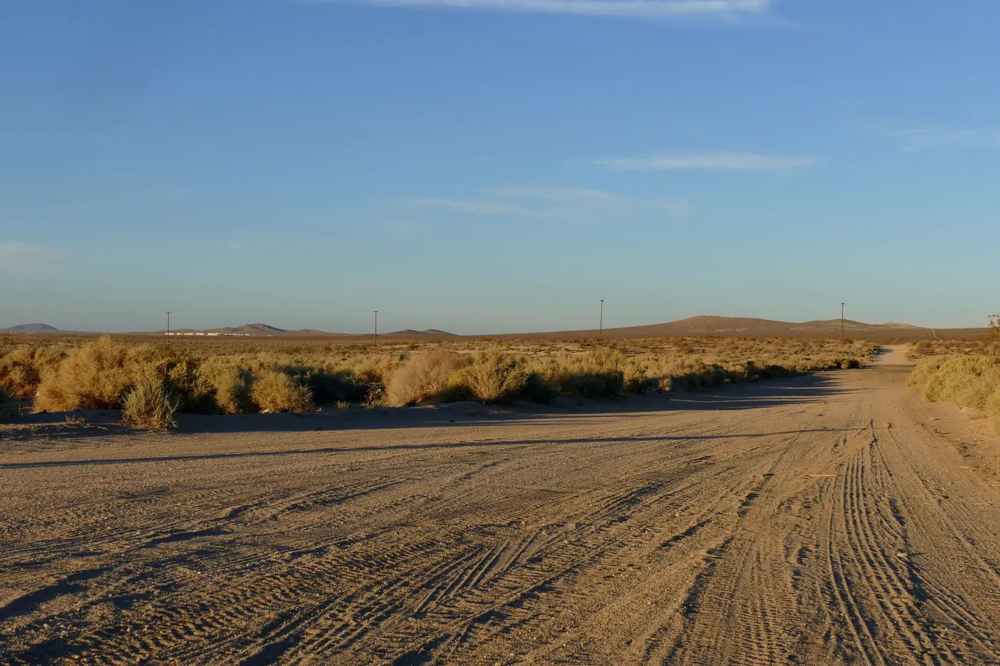
Much of that network is streets that were laid out and never built on. California City was platted in 1958 for four hundred thousand people, and of the 1,332.7 miles of street OpenStreetMap maps inside the city limits, 84 per cent have no building within 100 metres.34 The California City street map shows every one of them. The city’s 1,800 miles counts roads and dirt trails together, so the two figures measure different things, and neither is a list of where you may ride: the city’s map is.
Is there a California City OHV map?
Yes, and it is the one to use. The city publishes its riding trails map as an image on its website and in the Avenza Maps phone app, showing the main roads into town, the other riding areas, the places where OHVs may not go, and the designated trails.15 Free paper maps are available at the Borax Bill Park office, and the city advises new riders to carry one.6
- The city’s riding trails map (a large image file)
- The California City OHV Rider Map in Avenza Maps

This site does not redraw the trails. Where you may ride is the city’s decision and its map is what the permit is enforced against, so a copy here could only go out of date.
Do you need a permit to ride in California City?
Yes, on any off-highway vehicle. Since March 2008 every OHV operated in California City has had to display a California City Street Operating Permit, and any vehicle that is not street legal must also carry a current California green or red sticker. Dual-sport and street-licensed vehicles do not need the city permit.2 The city’s visitor guide words that exemption more narrowly, as street-legal OHVs with California plates.6
Permits run for a season, 1 July to 30 June,6 and the ones being issued now are valid through 30 June 2027.2 The city charges $15 per vehicle for the season or $50 for four, and sells family packs of four or eight permits with an RV water and dump pass for $60 and $100.7 Permit fees and the state’s green-sticker funds pay for the OHV Department, the trails and Borax Bill Park.2
The state registration is separate. A green sticker comes from the DMV, and State Parks gives the fee as $54 per vehicle for two years.8 Since 1 January 2025 red-sticker vehicles may ride year-round in areas designated for OHV use, like green-sticker ones.9 A visitor whose vehicle is not registered for off-highway use in their home state needs a California nonresident OHV use permit, which is $30 and runs for the calendar year.10
Where can you buy a California City OHV permit?
Online, from the city’s permit page, which adds a $4 processing fee to each order and posts the permits: allow two to three weeks, and they cannot be collected elsewhere once they are in the mail.7
In town, the city lists City Hall and the police department, and four businesses: the Shell station at Wonder Acres Market, Ace City Hardware, One Stop Market and Cal City MX Park.7 The list is the city’s, so check it before you drive to one of them.
What are the rules for riding in town?
The city’s own rules, from its visitor and recreation guides:
- Helmets on every vehicle, and no riding double on bikes or quads.6
- Stay on the designated trails, and off private property and prohibited areas.6
- No OHV on any paved city or county road, except to cross it.611
- No more than 15 mph within 50 feet of a camp or a group of people, and no wheelies, donuts or skids.6
- On CC10 into town, stay on the marked trail, go no further than California City Boulevard, keep to the posted 10 mph limit and park only in the marked OHV parking.11
Borax Bill Park: where riders base themselves
Borax Bill Park and Station is a city park, not a state one, run by the OHV Department on Twenty Mule Team Parkway.6 The city lists a visitor center, a first-aid building and its Desert Incident Response Team, restrooms and hot showers, RV water fill and dump stations, six power and water hookups, and dry camping at no charge; it gives the park’s position as N35° 10.278′ W117° 50.247′.2 In September 2026 the city listed the visitor center as open Thursday to Sunday.2
The name, the city says, is for Bill Parkinson, “Borax Bill”, who hauled borax 165 miles from Death Valley to the Mojave Desert with a twenty-mule team in the late 1800s.6
Out in the riding area the city has laid out eight developed dry camps, with two more being built, and gives their GPS positions in its recreation guide.11 Camping fees and rules at the park, and the other places to camp, are in camping near California City.
Where else can you ride near California City, and what is closed?
Since 24 March 2026 a federal court order has closed every BLM route in desert tortoise and Lane Mountain milk-vetch critical habitat in the western Mojave to OHV recreation, including street-legal vehicles used for recreation. BLM puts the closures at about 37 per cent of the routes in its West Mojave route network, all on BLM-managed land.12 Its map shows which routes are closed,13 and the federal government has appealed the order.14
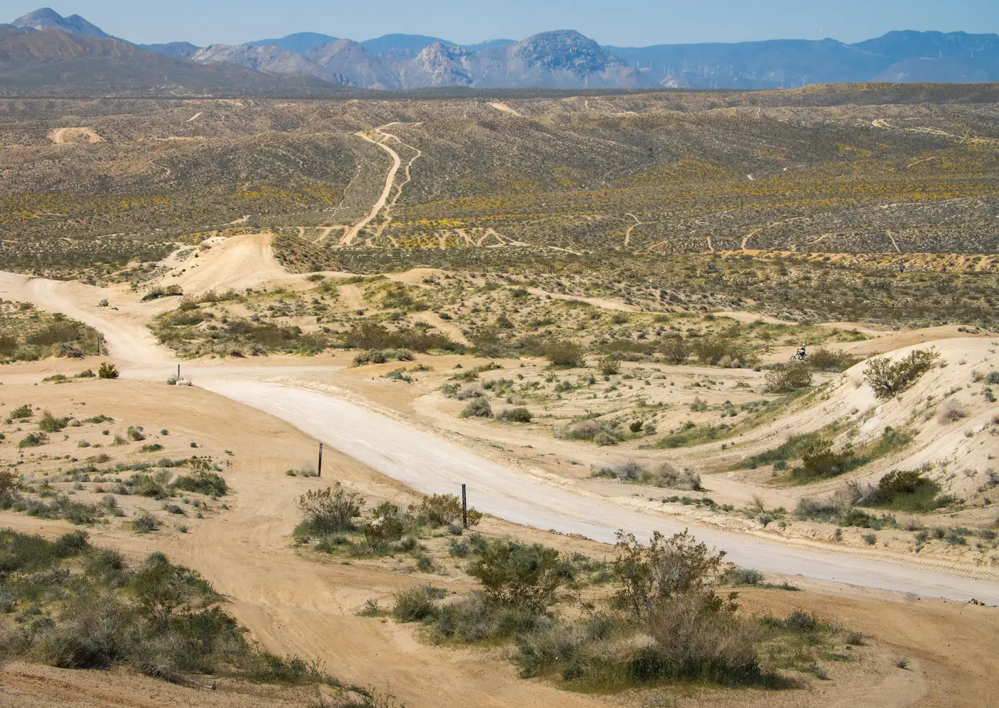
The open riding areas are not affected: BLM lists Jawbone Canyon, Dove Springs and Spangler Hills among the designated OHV areas that remain accessible. In the Rand Mountains BLM still requires its free permit while the routes in critical habitat are closed.12 Red Rock Canyon State Park, to the north, is a state park with its own rules for vehicles.
.jpg)
When is the riding season, and when is it busiest?
The permit season runs from July to June, but summer is the hard part of it: the city warns that temperatures can pass 100°F in summer and fall below freezing in winter.6 The best time to visit goes through the year month by month.
The big weekends are New Year’s, Presidents’ Day and Thanksgiving, when Borax Bill Park keeps longer hours and vendors set up.6 The city says the park has hosted more than 100,000 visitors at times,6 and the Chamber of Commerce says the riding population grows to more than 10,000 on holiday weekends.16 The two figures do not measure the same thing, and neither says how it was counted. Either way, book a room or plan a campsite well ahead, and check the fire restrictions before you light anything.
What else is there to do outdoors?
- Tortoises. The Desert Tortoise Research Natural Area, about four miles northeast of town, is best visited from mid-March to mid-June.17 See the Rand Mountains.
- Birds. The Chamber of Commerce says more than 360 species have been recorded around Central Park and Galileo Hill.18
- Hiking. The trails among the cliffs of Red Rock Canyon State Park, about 35 minutes north by road.
- The night sky. Much darker a short drive out of town: see dark skies.
Sources
Every fee, rule, distance and date above traces to one of these, checked on the review date. Rules, closures and fees change: where it matters, confirm with the managing agency before you go. If something here is wrong, tell us and it will be fixed.
- 1.Designated OHV Areas. City of California City.
- 2.About Us (OHV Department: permits and Borax Bill Park). City of California City.Permits, Borax Bill Park's facilities and hookup charges, and the RV dump and water station policy and hours. Re-read 24 September 2026.
- 3.California City street network and city limits. OpenStreetMap contributors, extracted 2026-09-17.Queried through the Overpass API and committed to this repository. Licensed under the Open Database Licence.
- 4.GlobalMLBuildingFootprints. Microsoft.Building outlines detected from satellite imagery and released under the Open Database Licence. 5,883 of them fall inside the city limits.
- 5.California City riding trails map. City of California City OHV Department.Also published in the Avenza Maps app as the California City OHV Rider Map.
- 6.Borax Bill Visitor's Guide. City of California City OHV Department, 2025.
- 7.Purchase Permits. City of California City OHV Department.Permit and pass prices for the season to June 2027, the online processing fee and mailing time, and the places in town that sell permits.
- 8.OHV Registration. California State Parks, Off-Highway Motor Vehicle Recreation Division.
- 9.OHV Information Bulletin, vol. 24, no. 3. California State Parks, Off-Highway Motor Vehicle Recreation Division, 19 December 2024.Red-sticker vehicles may ride year-round in areas designated for OHV use from 1 January 2025.
- 10.Nonresident OHV Use Permits. California State Parks, Off-Highway Motor Vehicle Recreation Division.
- 11.Borax Bill Recreation Guide. City of California City OHV Department, 2025.The CC10 commerce trail's route and rules, and the developed dry camps across the riding area.
- 12.West Mojave Plan route network. Bureau of Land Management.BLM's notice of the court-ordered closure of routes in desert tortoise critical habitat to OHV recreation from 24 March 2026, the areas that remain open, and the Rand Mountains permit.
- 13.West Mojave court order: map of routes closed to OHV recreation. Bureau of Land Management, 23 March 2026.
- 14.BRC files intervention in Ninth Circuit appeal of WEMO closures. BlueRibbon Coalition (an off-highway access advocacy group), 6 May 2026.Reports the federal government's notice of appeal. An advocacy source, used only for the fact of the appeal.
- 15.Ridgecrest Field Office. Bureau of Land Management.The office's address and phone, the areas it manages, and the Jawbone Canyon visitor center's address, hours and phone.
- 16.OHV. California City Chamber of Commerce.
- 17.Overview & Location: Desert Tortoise Research Natural Area. Desert Tortoise Preserve Committee.
- 18."Best in West" migration birding. California City Chamber of Commerce.