Nearby · BLM land · Off-highway vehicle area
Jawbone Canyon OHV Area, California
Bureau of Land Management land off Highway 14 where riding is allowed anywhere inside the open area and only on marked routes beyond it. There is no fee and no water, and the visitor center on the highway is the best first stop.
Last reviewed · 23 sources
At a glance
- Managed by
- Bureau of Land Management, Ridgecrest Field Office1
- Where
- Jawbone Canyon Road, off Highway 14 about 20 miles north of its junction with Highway 58 in Mojave1
- Fee
- None1
- 2026 closures
- BLM lists Jawbone Canyon among the riding areas that remain accessible9
- Visitor center
- Jawbone Station, 28111 Jawbone Canyon Road; (760) 373-11462
- BLM office
- Ridgecrest Field Office, (760) 384-54002
What is Jawbone Canyon?
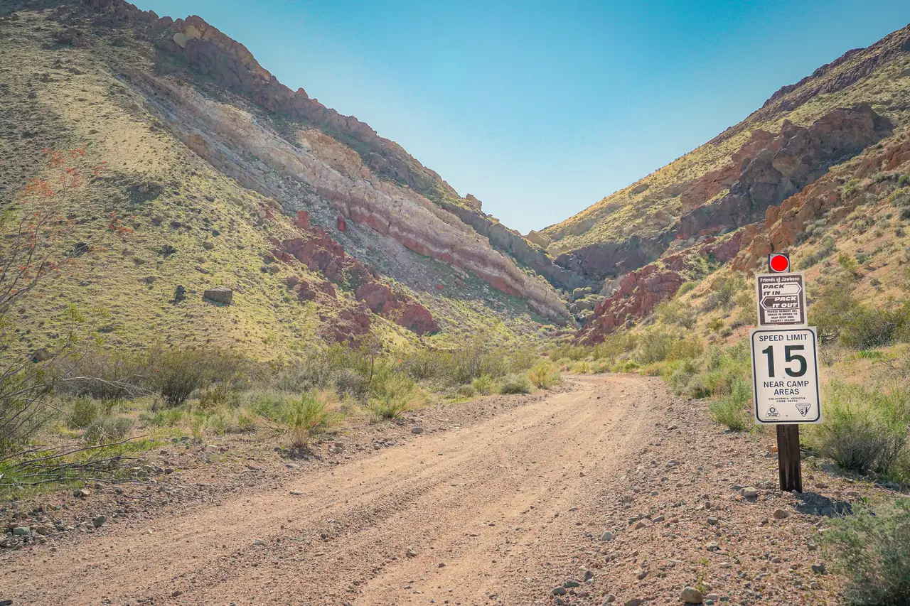
Jawbone Canyon’s open area is public land managed by the Bureau of Land Management for off-highway riding. BLM describes it as offering cross-country play, trail riding and advanced technical hill climbs.1 Friends of Jawbone, a nonprofit that promotes recreation in the area,3 puts the open area at more than 7,000 acres, starting beside Jawbone Station on Highway 14 and running about five miles west, with sand washes, steep hill climbs and miles of novice trails.4
The land is not all federal. The state’s Onyx Ranch State Vehicular Recreation Area is laid out in a checkerboard among the BLM land here, reached from the same Jawbone Canyon Road at Highway 14.12 Beyond the open area, BLM says, there are hundreds of miles of trail riding.1 There is no entry fee.1
Where is Jawbone Canyon, and how do you get there?
Jawbone Canyon Road leaves Highway 14 about 20 miles north of the Highway 14 and Highway 58 junction in Mojave: a left turn when driving north, a right turn when driving south.1 Jawbone Station, the visitor center, is at 28111 Jawbone Canyon Road.2 From California City’s City Hall it is about 16 miles by road, around half an hour.22 Other roads and distances are on getting here.
BLM says most of the camping and staging sites inside the open area can be reached in a two-wheel-drive vehicle towing a trailer.1 Friends of Jawbone advises checking road conditions and watching for flash floods, and staying with your vehicle if you are stranded.8
Where can you ride?
Inside the open area, riding is allowed everywhere.4 Outside it the rules change sharply. In the Jawbone-Butterbredt Area of Critical Environmental Concern beyond the open area, motor vehicles are restricted to a designated network of roads and trails marked with brown markers, and cross-country travel is prohibited. BLM is explicit: every other trail is closed, even if you do not see a red closed sign.1
- Paved roads and publicly maintained dirt roads are open only to vehicles registered for the highway. A green- or red-sticker vehicle may cross them but may not ride on or alongside them.6
- Wilderness areas are closed to all motor vehicles.6
- In this region, Friends of Jawbone lists only Jawbone Canyon, Dove Springs and Spangler Hills as open areas where cross-country riding is allowed.6
Is Jawbone Canyon open in 2026?
A federal court order requires BLM to close desert tortoise and Lane Mountain milk-vetch critical habitat in the western Mojave to off-highway recreation. Since 24 March 2026, and until further notice, every route in that habitat has been closed to OHV recreation, and BLM counts street-legal vehicles used for recreation as OHV recreation.9 BLM names Jawbone Canyon and Dove Springs among the designated riding areas that remain accessible.9
The closures are nearby, though. Friends of Jawbone lists the closed routes in the greater Jawbone region as those in the Rand Mountains, the Red Mountain area, Cuddeback Lake and the Kramer Hills.10 The federal government has appealed the order.11
What do you need to ride: stickers, permits and equipment
- Registration. Any vehicle that is not street legal needs a California green or red sticker; California residents register with the DMV.1 Since 1 January 2025, red-sticker and green-sticker vehicles are equally valid year-round in areas designated for OHV use.13
- Visiting from another state. If your OHV is not registered in your home state, you need a California nonresident OHV permit, which BLM says can be bought at Jawbone Station.1 The state lists the fee as $30.14
- Equipment. An approved muffler, brakes and a spark arrester.1
- ATVs. Riders under 14 must be supervised by a parent or guardian; every ATV rider must wear an approved helmet; no passengers.1
- Prohibited in the open area: glass containers, empty or not; firewood with nails, screws or other metal, including pallets; fireworks; and riding under the influence of alcohol or drugs.1
Jawbone Station visitor center
.jpg)
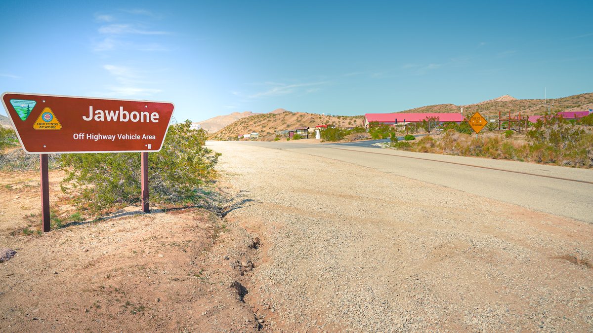
Jawbone Station is on Highway 14 at Jawbone Canyon Road, about 20 miles north of Mojave. It has information, maps and books for riders, hikers, cyclists, horse riders and tourists, and there is a free primitive campground across Jawbone Road from it.5 BLM lists it as its Jawbone Canyon visitor center;2 Friends of Jawbone provides major support for its day-to-day operation.3 Free California Campfire Permits are issued there,7 and so are nonresident OHV permits.1 BLM lists its hours as 8:30am to 4pm every day, closed for lunch from 1pm to 1:30pm; the number is (760) 373-1146.2
Also on Highway 14 at Jawbone Canyon, OpenStreetMap maps the Jawbone Canyon Store, with fuel and a convenience store; confirm it is open before you rely on it.23 Other places to buy fuel and food on the way are in food and fuel near California City.
Can you camp at Jawbone Canyon?
The whole OHV area and the public land around it is open to primitive camping, with numerous camping and staging sites in the canyon, and a 14-day stay limit.1 Friends of Jawbone sets out the general BLM rule as up to 14 days on one site in any 28-day period, after which you move 25 miles, and notes that you may not camp within 200 yards of a water source or on land under an active mining claim.7
What is the black pipe?
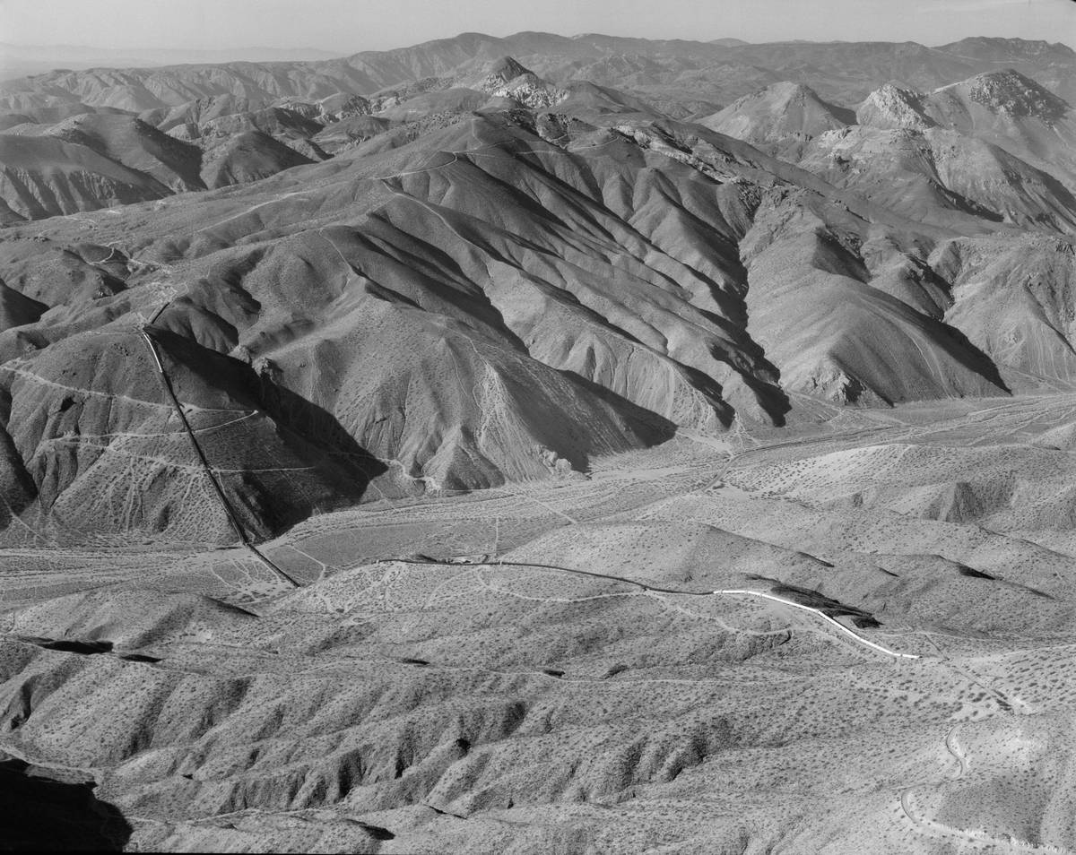
About three miles west of Jawbone Station, Jawbone Canyon Road passes the Los Angeles Aqueduct. The riveted iron “black pipe” is a siphon on the original aqueduct, built between 1908 and 1913,17 and both that aqueduct and the second, completed in 1970, can be seen from the road.18 The Center for Land Use Interpretation describes the Jawbone pipe as the largest of the aqueduct’s pressurised sections, 8,095 feet long with an 850-foot drop, and notes that it burst in freezing weather in 1988.19 William Mulholland, the aqueduct’s chief engineer, called this section the Jawbone Siphon.20
Butterbredt Spring
In the wider Jawbone/Butterbredt Recreation Management Area, Butterbredt Spring holds water for desert wildlife and for waterfowl migrating in spring and autumn. The land at the spring is private, vehicle travel and hunting there are restricted, and the Audubon Society has established it as a wildlife sanctuary with the landowner.21
Sources
Every fee, rule, distance and date above traces to one of these, checked on the review date. Rules, closures and fees change: where it matters, confirm with the managing agency before you go. If something here is wrong, tell us and it will be fixed.
- 1.Jawbone Canyon OHV Area. Bureau of Land Management.
- 2.Ridgecrest Field Office. Bureau of Land Management.The office's address and phone, the areas it manages, and the Jawbone Canyon visitor center's address, hours and phone.
- 3.Who Are We. Friends of Jawbone.
- 4.Jawbone Canyon OHV Open Area. Friends of Jawbone.
- 5.Jawbone Station Visitor Center. Friends of Jawbone.
- 6.Vehicle Travel. Friends of Jawbone.
- 7.On BLM Land. Friends of Jawbone.
- 8.Safety. Friends of Jawbone.
- 9.West Mojave Plan route network. Bureau of Land Management.BLM's notice of the court-ordered closure of routes in desert tortoise critical habitat to OHV recreation from 24 March 2026, the areas that remain open, and the Rand Mountains permit.
- 10.Federal Court Orders OHV Route Closures in Mojave Desert. Friends of Jawbone, 4 February 2026.
- 11.BRC files intervention in Ninth Circuit appeal of WEMO closures. BlueRibbon Coalition (an off-highway access advocacy group), 6 May 2026.Reports the federal government's notice of appeal. An advocacy source, used only for the fact of the appeal.
- 12.Onyx Ranch SVRA. California State Parks, Off-Highway Motor Vehicle Recreation Division.The state vehicular recreation area laid out in a checkerboard among the BLM land at Jawbone and Dove Springs; states that no water or hookups are available for camping in the area.
- 13.OHV Information Bulletin, vol. 24, no. 3. California State Parks, Off-Highway Motor Vehicle Recreation Division, 19 December 2024.Red-sticker vehicles may ride year-round in areas designated for OHV use from 1 January 2025.
- 14.Nonresident OHV Use Permits. California State Parks, Off-Highway Motor Vehicle Recreation Division.
- 15.California fire information and restrictions. Bureau of Land Management.Current restrictions by field office, including Stage I rules for Ridgecrest and the free California Campfire Permit.
- 16.BLM announces seasonal fire restrictions for southern California. Bureau of Land Management, 14 April 2026.
- 17.The Black Pipe. Friends of Jawbone.
- 18.Los Angeles Aqueducts. Friends of Jawbone.
- 19.Los Angeles Aqueduct Jawbone Canyon Pipe. The Center for Land Use Interpretation.
- 20.Jawbone Canyon. Wikipedia.
- 21.Jawbone/Butterbredt Recreation Management Area. Bureau of Land Management.
- 22.Route from California City City Hall to Jawbone Station. OSRM routing on OpenStreetMap data, routed 17 September 2026.15.9 miles; about 28 minutes in free-flowing traffic.
- 23.OpenStreetMap: Jawbone Canyon Store. OpenStreetMap contributors.Mapped with fuel and a convenience store on Highway 14 at Jawbone Canyon. Existence only; confirm it is open.