Visiting · Practicalities
Getting to California City: distances and directions
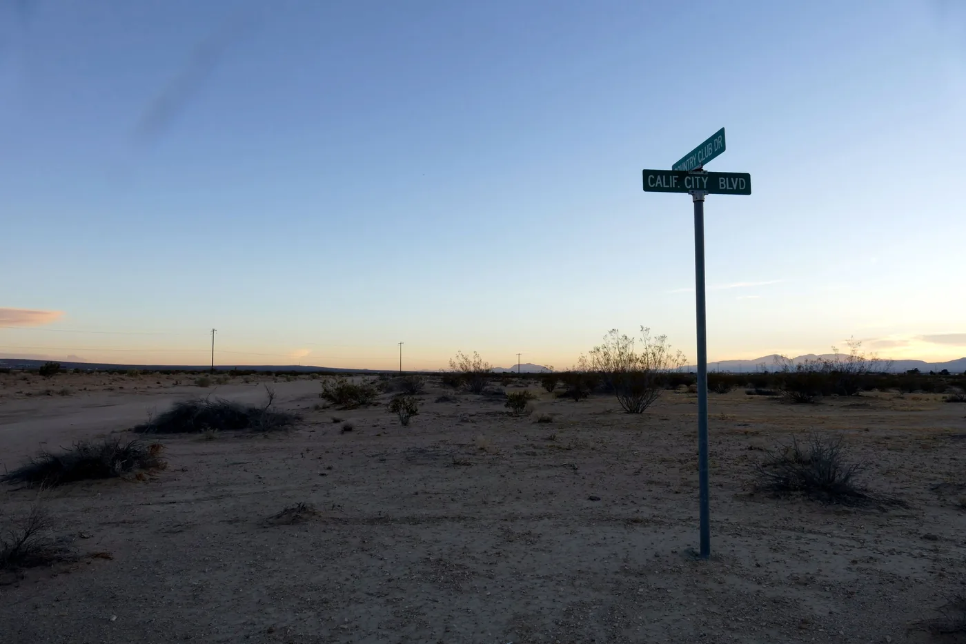
California City is a place you drive to: about nine miles off Highway 14 along California City Boulevard, and a little over two hours from downtown Los Angeles when the roads are clear. There is a bus, a general-aviation airfield, and no train.
Last reviewed · 16 sources
.jpg)
At a glance
- From Highway 14
- Exit 73, California City Boulevard5
- From Highway 58
- California City Boulevard, signed for California City6
- By road from
- Los Angeles 110 miles, Bakersfield 70, Las Vegas 220, San Diego 2071
- Airport
- California City Municipal (L71), general aviation only; closed at night until further notice9
- Bus
- Kern Transit routes to Lancaster and to Ridgecrest13
Which highways lead to California City?
California City is in eastern Kern County,3 with 203.6 square miles of land inside its limits.2 Wikipedia places it in the northern Antelope Valley and at an elevation of 2,405 feet;3 its article on the Fremont Valley lists the town among that valley’s communities.4 Both names are in use.
Two highways serve it: Highway 14 to the west and Highway 58 to the south.3 California City Boulevard connects the town to both. For the town’s population, ZIP code and other essentials, see California City facts.
How to drive to California City
- From Los Angeles. Interstate 5 north to Highway 14 at the edge of Santa Clarita, then Highway 14 through Palmdale and Lancaster. The freeway ends just south of Mojave, where the highway becomes the town’s main street; north of Mojave, take exit 73, California City Boulevard, the last interchange on the route.5 The town centre is about nine and a half miles east along the boulevard.1
- From Bakersfield. Highway 58 east over the Tehachapi Pass to Mojave,6 then Highway 14 north to California City Boulevard.1
- From Las Vegas. Interstate 15 to Barstow, then Highway 58 west past Boron and Edwards Air Force Base to the California City Boulevard junction, signed for California City.6 From there it is about ten miles north into town.1
- From Ridgecrest and the Eastern Sierra. Highway 14 runs south from US 395 near Inyokern.5 The fastest routed option uses county roads through the desert instead;1 see the caution on Randsburg about flood closures on those roads.
- From further away. For San Diego, Fresno, the Bay Area, Sacramento, Reno and Phoenix, each row of the distances table links to its route on OpenStreetMap.1
How far is California City from Los Angeles and other cities?
Road distances from California City’s City Hall, routed on OpenStreetMap data. Times are for free-flowing traffic, so treat them as the best case; each row links to its route.1
| To | Miles | Time | Route |
|---|---|---|---|
| Edwards Air Force Base, north gate | 13.5 | 21 min | map |
| Mojave | 15.7 | 23 min | map |
| Jawbone Station (Jawbone Canyon) | 15.9 | 28 min | map |
| Red Rock Canyon State Park visitor center | 19.6 | 35 min | map |
| Boron | 25.6 | 34 min | map |
| Tehachapi | 30.0 | 40 min | map |
| Lancaster | 41.8 | 54 min | map |
| Palmdale | 50.2 | 1 h 2 min | map |
| Ridgecrest | 50.9 | 1 h 15 min | map |
| Randsburg, via Highway 58 and US 395 | 61.1 | 1 h 17 min | map |
| Barstow | 65.5 | 1 h 20 min | map |
| Bakersfield | 70.2 | 1 h 27 min | map |
| Meadows Field airport (BFL), Bakersfield | 76.1 | 1 h 38 min | map |
| Hollywood Burbank Airport (BUR) | 98.4 | 1 h 57 min | map |
| Downtown Los Angeles (City Hall) | 110.0 | 2 h 11 min | map |
| Los Angeles International Airport (LAX) | 114.6 | 2 h 16 min | map |
| Fresno (City Hall) | 178.9 | 3 h 25 min | map |
| San Diego (City Hall) | 207.1 | 4 h 4 min | map |
| Las Vegas (City Hall) | 219.9 | 4 h 7 min | map |
| San Francisco (City Hall) | 351.8 | 6 h 41 min | map |
| Sacramento (City Hall) | 354.6 | 6 h 39 min | map |
| Reno (City Hall) | 369.0 | 7 h 47 min | map |
| Phoenix (City Hall) | 420.1 | 7 h 43 min | map |
Is there an airport in California City?
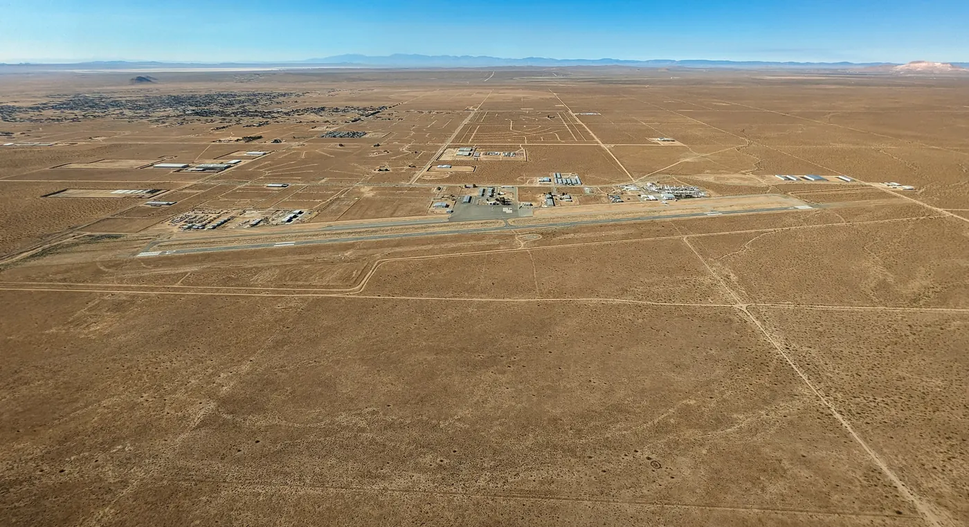
California City Municipal Airport (L71) is owned by the city and open to public use, about two miles northwest of town according to FAA records. It has a single asphalt runway, 06/24, 6,027 by 60 feet, at an elevation of 2,453 feet, no control tower, and sells 100LL and Jet A fuel.9 As of the FAA data effective 3 September 2026 the airport is closed to night operations until further notice, with the runway lights out of service.9 There is no scheduled airline service. Pilots should use current FAA data and NOTAMs, not this page.

Airline airports. The nearest with scheduled flights is Meadows Field in Bakersfield, served by American and United,10 76 miles away by road. Hollywood Burbank is 98 miles and LAX 115.1 Palmdale Regional Airport has no airline service, though the city of Palmdale is working toward bringing it back,11 and Inyokern, near Ridgecrest, has no scheduled passenger service.12
Can you get to California City by bus or train?
- Kern Transit 250 runs between California City and Lancaster by way of Mojave and Rosamond, connecting with Metrolink at Lancaster.13
- Kern Transit 230 runs between Mojave and Ridgecrest by way of California City and Inyokern.13
- Kern Transit 100 runs from Bakersfield through Tehachapi and Mojave to Lancaster; change at Mojave for California City.13
- Metrolink trains run from Lancaster to Los Angeles, and Lancaster station also has Amtrak Thruway bus and Kern Transit connections.14
- Dial-A-Ride. The city runs a shared, on-request service open to the general public within California City, Rancho Estates and Wonder Acres, with no service at weekends or on holidays.15
Kern Transit’s buses do not run every day on every route, so check the timetable at kerntransit.org before you plan around one.13
Driving in the desert: dust, wind and fuel
Wind is the hazard most visitors do not expect. If dense dust is blowing across the road ahead, the National Weather Service’s advice is not to drive into it. If it reaches you, pull as far off the pavement as you can, stop, turn off all your lights, set the parking brake and take your foot off the brake pedal so your tail lights are not lit.16
Fill up before heading onto the back roads, carry water, and read where fuel and water run out before you go. The wind forecast reads the coming days for gusts.
Sources
Every fee, rule, distance and date above traces to one of these, checked on the review date. Rules, closures and fees change: where it matters, confirm with the managing agency before you go. If something here is wrong, tell us and it will be fixed.
- 1.OSRM routing on OpenStreetMap data, from California City City Hall. Project OSRM and OpenStreetMap contributors, routed 17 September 2026, long-distance rows added 24 September 2026.Every distance and time was computed this way, and each one links to its own route so it can be re-run. Times assume no traffic.
- 2.2025 Gazetteer Files: places, California. U.S. Census Bureau.
- 3.California City, California. Wikipedia.
- 4.Fremont Valley. Wikipedia.
- 5.California State Route 14. Wikipedia.
- 6.California State Route 58. Wikipedia.
- 7.Visitor's Downtown Guide (map). California City Chamber of Commerce, 2017.
- 8.Expect a limited wildflower bloom this spring in Southern California's state parks. California State Parks, 24 February 2025.Includes the department's safety advice for desert parks: cell coverage, GPS routing onto four-wheel-drive roads, food, fuel and water.
- 9.L71: California City Municipal Airport. AirNav, from FAA records effective 3 September 2026.
- 10.Airlines and Destinations. Meadows Field Airport, Bakersfield.
- 11.Palmdale Regional Airport. City of Palmdale.
- 12.Inyokern Airport. Wikipedia.
- 13.Kern Transit. Wikipedia.Route details. Kern Transit's own site could not be read automatically; confirm routes and times at kerntransit.org.
- 14.Lancaster Train Station. Metrolink.
- 15.Transportation. City of California City.
- 16.Dust Storms and Haboobs. National Weather Service.