Land & Lots · Your parcel
Finding your lot on a California City parcel map
Every lot in California City has a number, and the number is the way into everything else the county holds on it: the assessor's record, the parcel map, the tax bill. This is where to find it, what the record does and does not tell you, and how to see where the lot sits in the grid.
Last reviewed · 14 sources
At a glance
- Who holds the record
- The Kern County Assessor-Recorder1
- The numbers
- APN, eight or nine digits; ATN, ten or eleven. The county’s property search takes either1
- On a tax bill
- The ATN, directly below the mailing address and on the payment stubs2
- Search by owner
- Not in the property search, which leaves owners’ names out1
Where do I find my parcel number?
Kern County identifies a parcel in two ways. The Assessor’s Parcel Number, the APN, has eight or nine digits; the Assessor’s Tax Number, the ATN, has ten or eleven. The county’s property search accepts either, with or without the dashes.1 Either one gets you to the record.
- On the tax bill. On a bill marked “Secured” or “Secured Supplemental”, the ATN and the bill number are printed directly below the mailing address and again on the detachable payment stubs. The Treasurer-Tax Collector’s site will also find a bill by ATN, by property address or by bill number.2
- On the deed. State law lets a county recorder require the assessor’s number on the first page of a deed as a condition of recording it,3 so the first page is the place to look.
- If you have neither. The Assessor’s search cannot look a parcel up by its owner’s name.1 The Recorder’s online index of recorded documents can: it searches by grantor or grantee, by document number, date or class. Since 9 December 2024 it no longer searches by parcel number online, a change the county attributes to Assembly Bill 1785; parcel-number searches are still available on the kiosks at its Hall of Records and Recorder Annex.4 A search on the buyer’s name as grantee should find the deed.
What does the county's record show?
A result in the Assessor’s property search opens a details page. Its “View Parcel Map” link shows the parcel or tract map for the property, and a “Copy Link” button gives a direct link to that record to keep or send. The owner’s name is left out: the county says that is how it complies with a state law protecting the home addresses of public officials.1
The Assessor’s Parcel Map Search finds the scanned map on its own, by parcel number.5 The county’s official assessment maps are nearly 17,000 paper sheets, mostly drawn by hand; it is converting them into a digital map system, but says the paper maps are still the official ones and its digital data has “varying degrees of accuracy”.6
The county’s site also offers a third search, provided by ParcelQuest, a private company. The county says it does not own or run that service, and puts the maps, recent sales and other data it shows under the same disclaimer as its own maps.8
The assessed value is not a price
The county’s parcel data includes each parcel’s assessed value,6 and it is easy to read as what the lot is worth. Under Proposition 13, property is reassessed to market value only when it changes hands or something new is built on it; in between, its assessed value generally rises by no more than two per cent a year. The state’s own summary points out that two similar properties can carry very different values for no reason other than when each was bought.7 For a lot that has not changed hands in decades, the figure mostly reflects what it was worth when it last did. This site gives no estimate of what any lot is worth.
Is my lot in an SDI tract?
One thing worth checking while you have the parcel map open is the tract number. The city’s code names 29 tracts as “Subdivision Deferred Improvement” tracts, covered by agreements calling for payments by their lot owners toward improvements to be built later, and it defines every lot in them as an SDI lot:9
2898, 2967, 3060, 3061, 3062, 3070, 3071, 3080, 3081, 3139, 3140, 3186, 3187, 3188, 3192, 3193, 3194, 3195, 3196, 3197, 3198, 3243, 3245, 3279, 3280, 3281, 3282, 3288, 3353.
If yours is among them, the money paid for those improvements sits in a city fund with its own committee and its own rules, including a way for an owner to propose an improvement. The Landowners Association page explains the fund and the committee.
How do I see my lot on a map?
Kern County publishes an interactive county map, which it describes as having “multiple filters, searches, and features”.10 The city’s own interactive zoning map is a link to that same county map, opened on California City.11
This site’s grid map answers a different question: not where the lot lines are, but what is around the lot. It draws every platted street in the city over aerial imagery, with every building open data knows about, and its search box finds any of the 1,729 street names OpenStreetMap carries for the city.12 To find a lot on it:
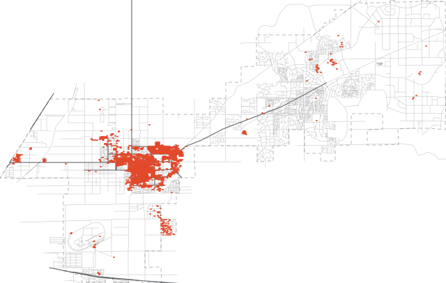
- From the parcel map, or from the property address if the lot has one, note the streets on each side of the lot.
- On the grid map, type one of them into the search box and pick it. The map flies to that street; hover over it or tap it for its name, its road class, and how much of it has no building within 100 metres.
- Follow it to where the next street on the parcel map crosses it. Your lot is on that block. If a name does not come up, try one of the others: the names on the grid map are OpenStreetMap’s, not the county’s.
Two limits. The grid map has no lot lines, so it places a block, not a boundary. And its road colours are OpenStreetMap’s classes, not a record of whether a street is paved: the grid page explains why.
Going to see your lot
.jpg)
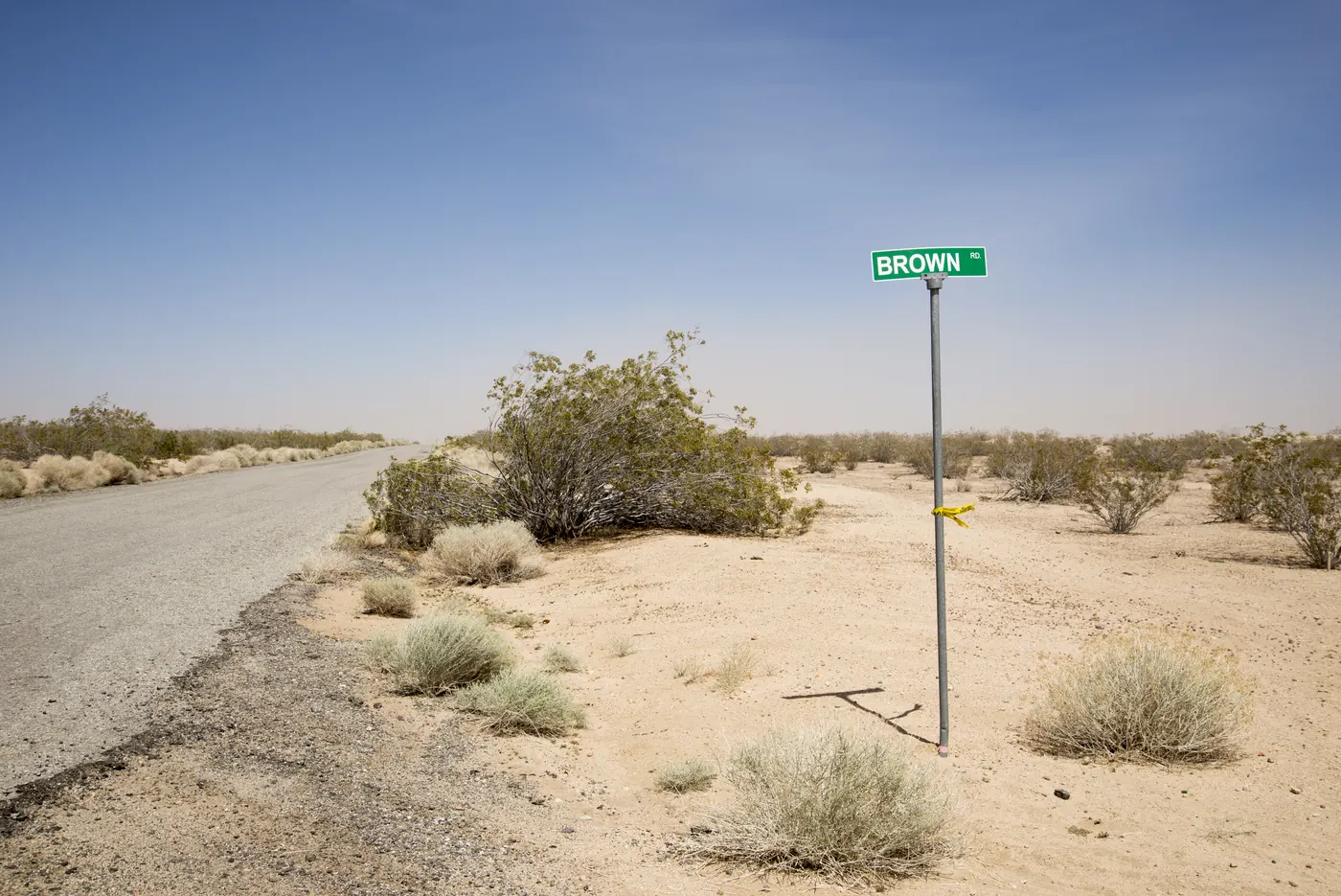
Most of the grid lies out past the built edge of town, on streets whose surface, as above, this site cannot vouch for. Getting here covers the roads in, and camping covers the city’s rules on staying on your own lot. Check the desert conditions before a summer trip.
While you have the parcel number, check that the county has your current mailing address; the Assessor takes changes on a form.14 It is where the tax bill goes, and the scams page explains why it matters for more than that.
Sources
Every fee, rule, distance and date above traces to one of these, checked on the review date. Rules, closures and fees change: where it matters, confirm with the managing agency before you go. If something here is wrong, tell us and it will be fixed.
- 1.Assessor Property Search. Kern County Assessor-Recorder.How the search works: by APN, by ATN or by street name, never by owner's name, and what the results page links to.
- 2.Help: searching for and paying a bill. Kern County Treasurer-Tax Collector.
- 3.SB 255, County recorders: notification (Chapter 351, Statutes of 2025). California Legislature, approved 6 October 2025.Adds Government Code section 27297.7.
- 4.Search for Recorded Documents or Maps. Kern County Assessor-Recorder.Including the end of online searches by parcel number from 9 December 2024.
- 5.Assessor's Parcel Map Search. Kern County Assessor-Recorder.
- 6.Assessor's GIS Data. Kern County Assessor-Recorder.
- 7.California Property Tax: An Overview (Publication 29). California State Board of Equalization, March 2025.
- 8.ParcelQuest Property Search: disclaimer. Kern County Assessor-Recorder.The county's statement that its parcel maps are for assessment only and that an assessor's parcel is not necessarily a legal lot.
- 9.City of California City Municipal Code (PDF edition). City of California City, pages dated 27 April 2011.Sections 1-3.07 and 9-6.101 to 9-6.303: what SDI tracts, lots and agreements are, and how the SDI Fund may be spent. The city marks this edition as being corrected and updated.
- 10.Mapping & GIS. Kern County Assessor-Recorder.
- 11.Interactive Zoning Map. City of California City.The page links to Kern County's online map, opened on the city.
- 12.California City street network and city limits. OpenStreetMap contributors, extracted 2026-09-17.Queried through the Overpass API and committed to this repository. Licensed under the Open Database Licence.
- 13.Expect a limited wildflower bloom this spring in Southern California's state parks. California State Parks, 24 February 2025.Includes the department's safety advice for desert parks: cell coverage, GPS routing onto four-wheel-drive roads, food, fuel and water.
- 14.Change a Mailing Address. Kern County Assessor-Recorder.